

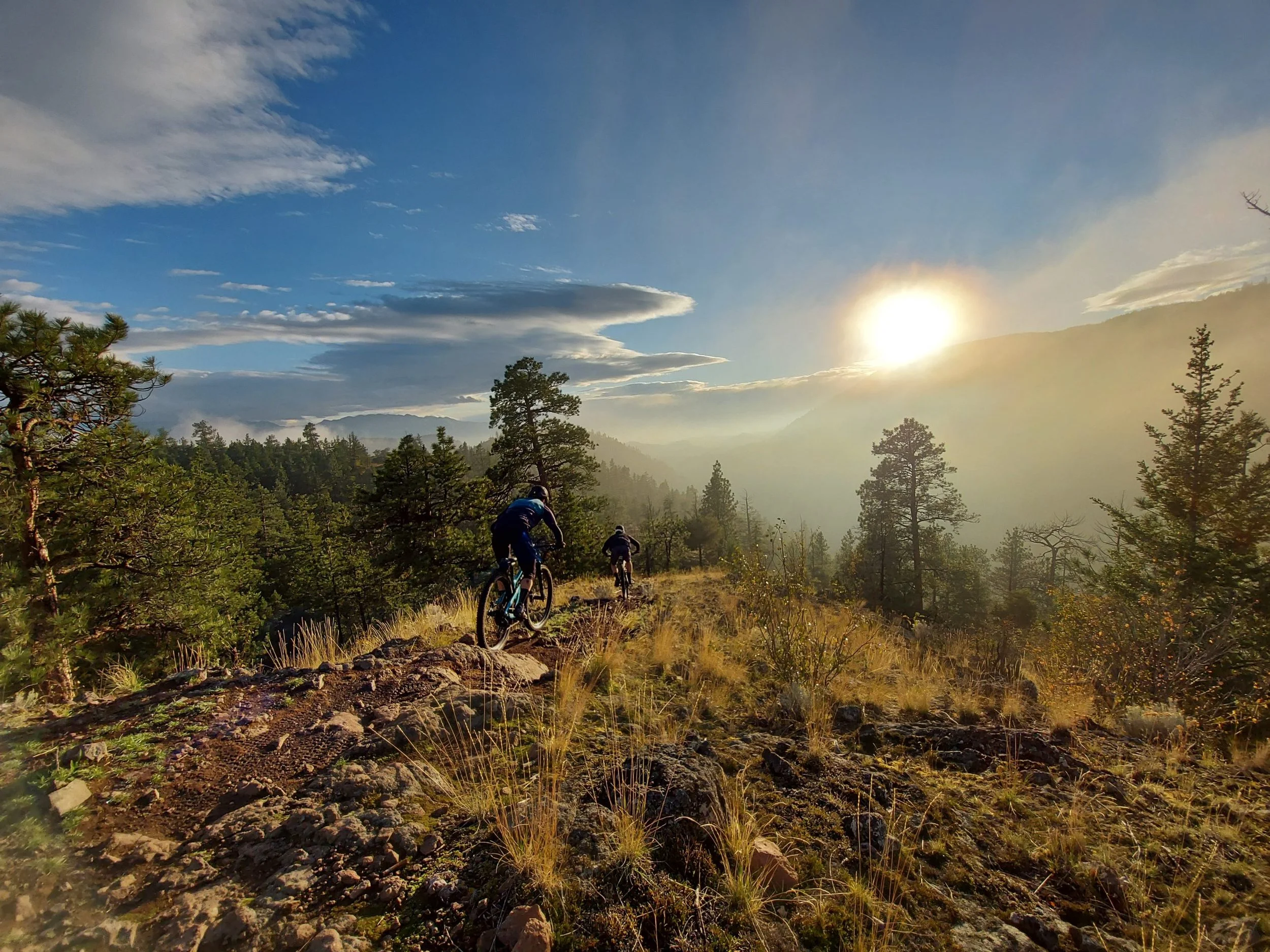
Explore more than 400 kilometres of trails across Kelowna, West Kelowna, and Lake Country—connecting some of the best riding terrain in the heart of the Central Okanagan.
Our Trails
KM of
singletrack
400+
6
Trail
networks
4
Projects
underway

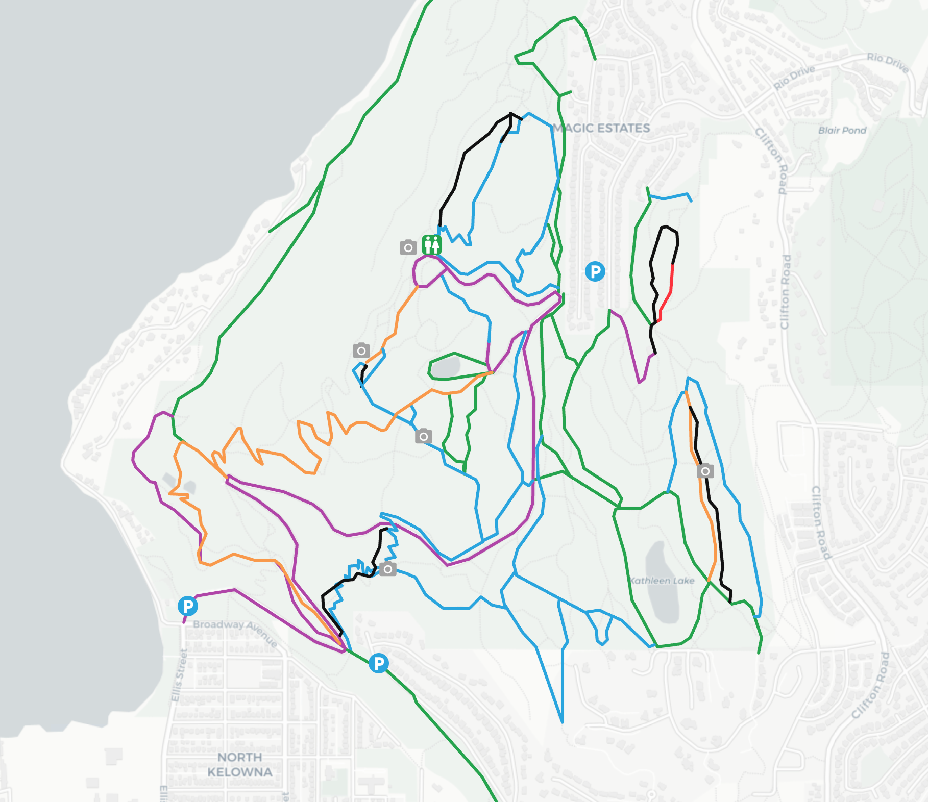
Knox Mountain
Located just minutes from downtown Kelowna, Knox Mountain is a multi-use municipal park offering urban-accessible trails for all levels and sweeping views of the city and the lake.
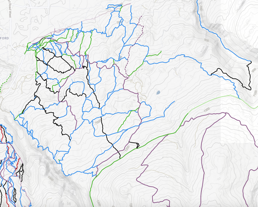
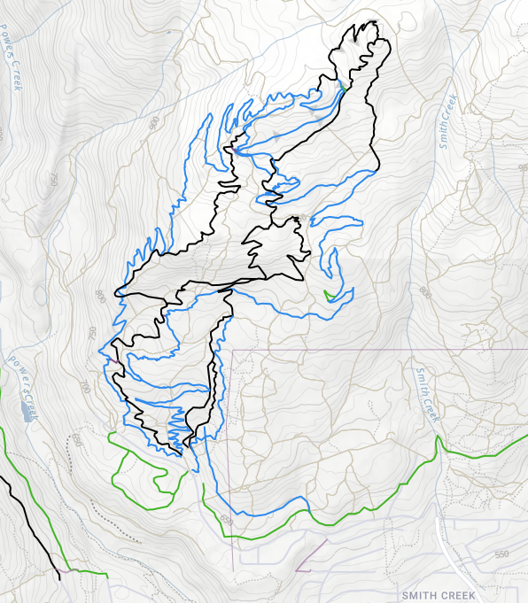
Crawford
Myra-Bellevue Provincial Park (Crawford) sits at the edge of Kelowna’s Upper Mission and offers more than 150 km of multi-use trails, from flowy singletrack to technical rock gardens and challenging descents for every style of rider.

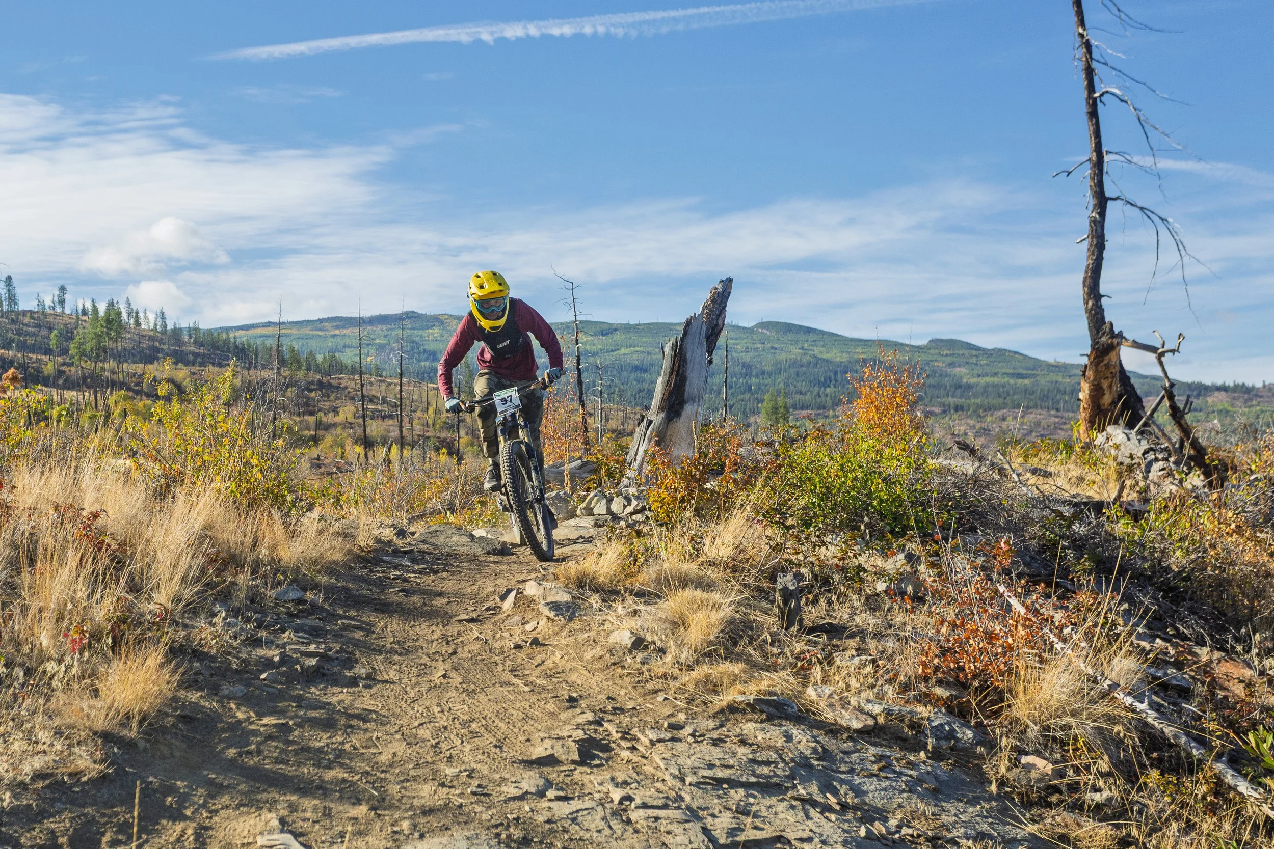
Gillard
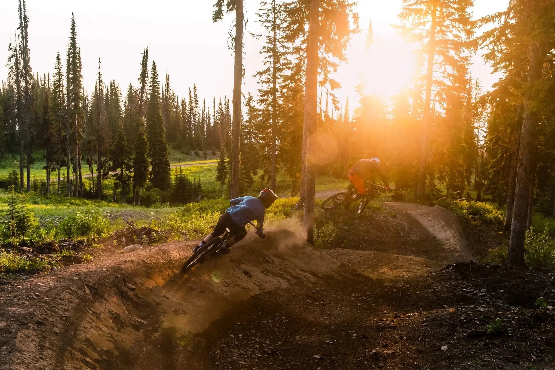
Known as the Okanagan’s original freeride trails, Gillard delivers fast singletrack, jumps in all sizes, rock and wooden features, and steep technical lines — a true playground for intermediate and expert riders.
Smith Creek
Tucked into the forested hills northwest of West Kelowna, Smith Creek offers flowy descents, natural-feature jumps and drops, and smooth singletrack — perfect for riders seeking fun, fast, forested laps.

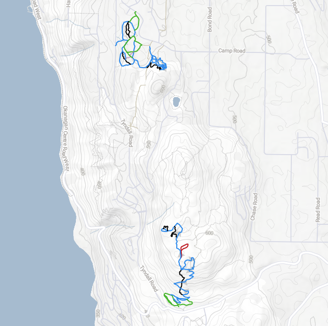
Lake Country
Set between rolling hills and lakeside views, Lake Country offers an emerging network of accessible, low-key trails — ideal for riders looking to explore new terrain and watch the community grow as development continues.
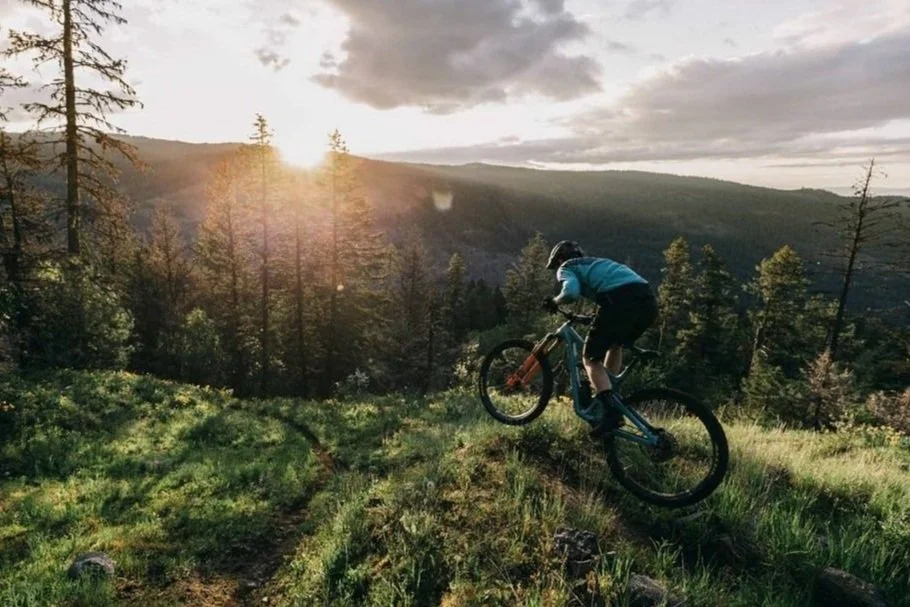

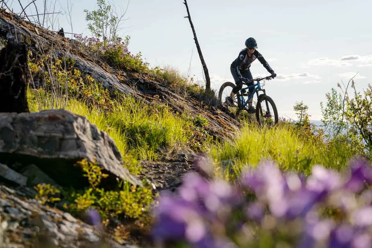
Rose Valley
Nestled between West Kelowna’s striking rock bluffs, Rose Valley offers quiet, rugged terrain with a mix of climbs, ridgelines, and flowing descents — a scenic escape for riders of all levels.
Craving more?
Discover even more riding across the Central Okanagan — from the Kettle Valley Rail Trail and Okanagan Rail Trail to lift-accessed laps at Big White and SilverStar.
-
![Big White Bike Park]()
Big White Bike Park
Just outside of Kelowna, Big White Bike Park’s lift-access downhill terrain expands every season, adding fresh machine-built flow and technical descents that support progression for every rider—from new to expert.
-
![SilverStar Bike Park]()
SilverStar Bike Park
SilverStar in Vernon is one of BC’s premier bike parks, featuring a huge lift-accessed network of machine-built flow trails, fast descents, and technical singletrack—home to some of the best downhill riding in the province.
-
![Okanagan Rail Trail]()
Okanagan Rail Trail
Once a railway corridor, the Okanagan Rail Trail now links Kelowna, Lake Country, Oyama, and Vernon with a smooth, scenic path perfect for easy cruising.
-
![Kettle Valley Rail Trail]()
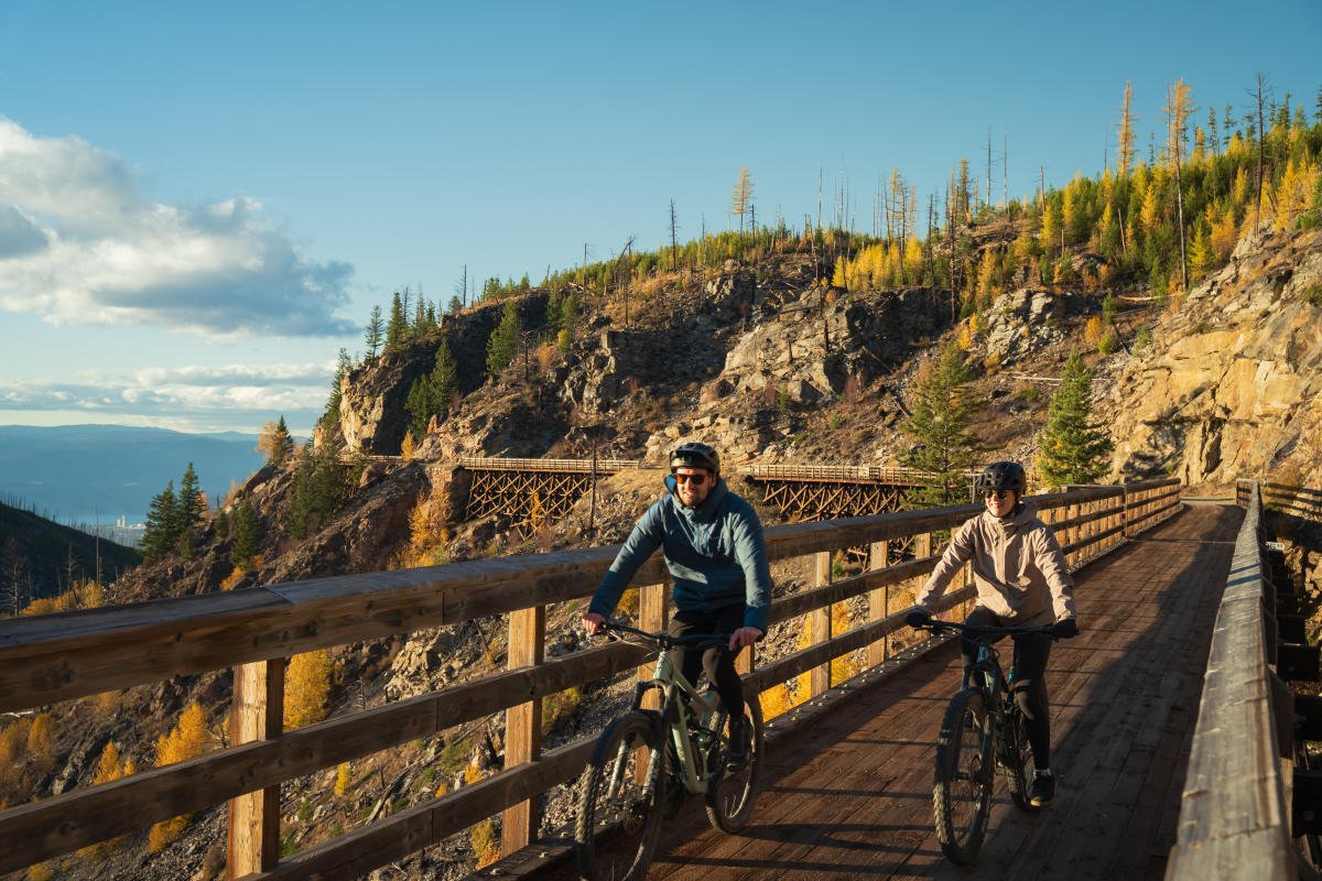
Gravel Riding, KVR & FSRs
From the iconic Kettle Valley Rail Trail—including the historic Myra Canyon Trestles—to endless forest service roads, explore gravel routes with sweeping views and room to roam.
-
![Lake Country Bike Park]()
Lake Country Bike Park
A brand-new 6-hectare riding zone in Lake Country, this community-built bike park features pump tracks, progression-focused dirt jumps, drop lines, a technical skills loop, gravity trails, and an adaptive trail—welcoming riders of all ages and levels


Contact us
Trails need work?
Let us know if you’ve spotted maintenance needs or have feedback to share. Your input helps keep our trails safe, smooth, and in good riding shape for everyone.
Stay connected for trail updates, events, and news.